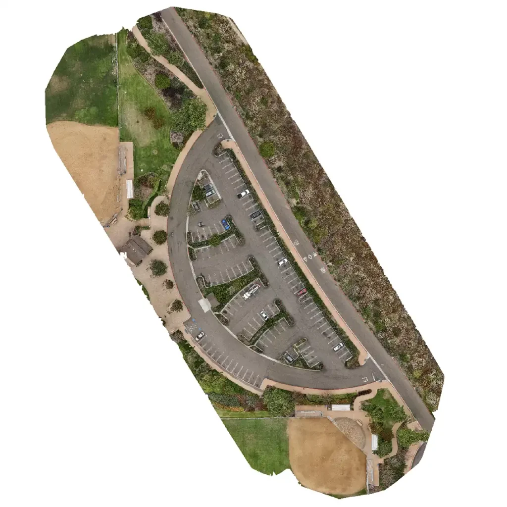
Encinitas Community Park, Ballfield Parking Lot
Municipal parking lot adjacent to athletic facilities with sidewalks, landscaped areas, buildings, mature trees, light poles, fencing, and parked vehicles.
Objective
- Establish mapping fundamentals + repeatability
- Measure and test absolute and relative accuracy
- Test the geometry and relative accuracy of a large flat area model
Site Characteristics
Vertical surfaces (Buildings, structures)
- Building walls
- vehicle faces
- Light posts
Vegetation
- Mature deciduous trees
- Shrubs and ground cover vegetation
Reflective surfaces:
- Vehicles
- Aluminum bleachers
Repetitive textures:
- Parking stalls
- Concrete sidewalks
- Metal roofing
Elevation changes
- ≈ 40’ elevation increase from the NW corner of the site to the south end of the site
Occlusion risks
- Ballfield batting cages
- Underside of mature trees
- Vertical facades on buildings obstructed by roof overhangs
Risk Assessment
- Minimal pedestrian traffic early in the morning
- Occasional vehicle traffic
- Major freeway adjacent to the site
- Hospital helipad in the vicinity of the mission area
Measurement Controls
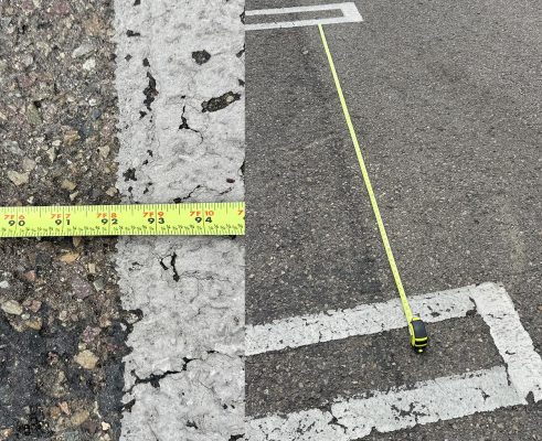
- Launch Area Parking Stall
- Slab Near Building
- North Sidewalk
- East Sidewalk
- Baseball Table
- Manhole Cover
- Dark Sidewalk (SW)